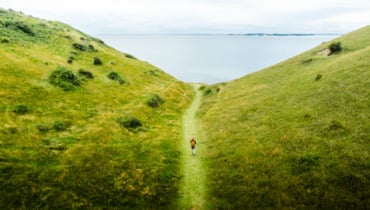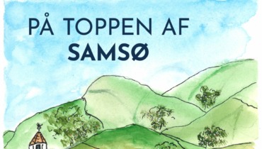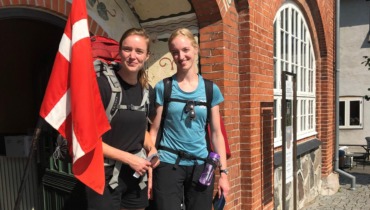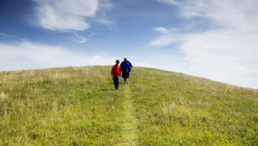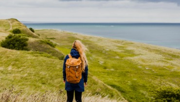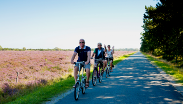
Hiking tour through Onsbjerg and Tranebjerg starting from Sælvig Harbor
Harbor Dyret – Sambiosen – Tranebjerg – Kongehøjen – Onsbjerg
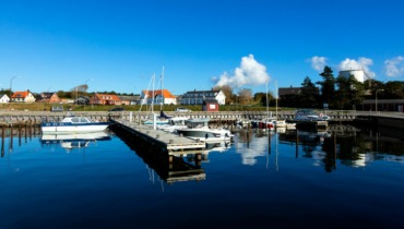
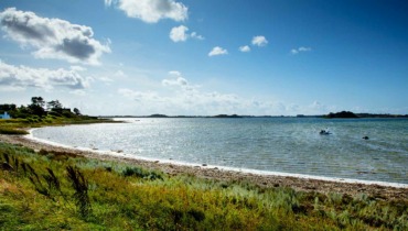
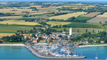
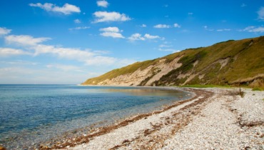
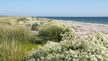
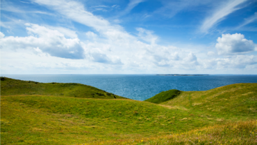
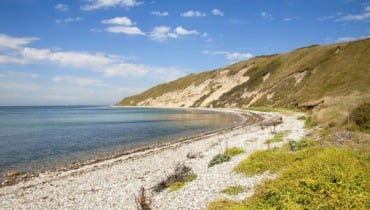
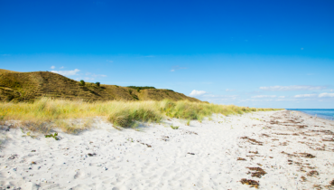
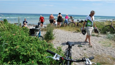
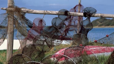
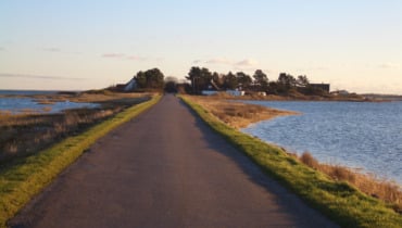
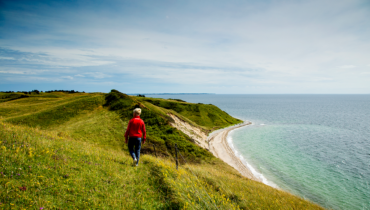
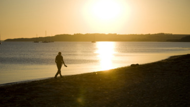
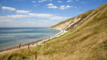
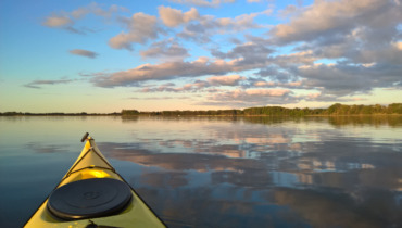
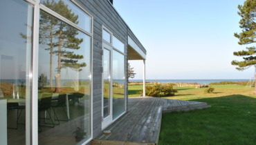
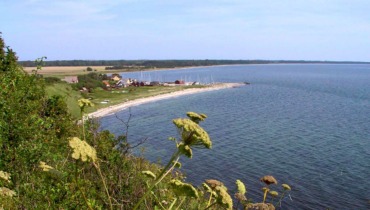
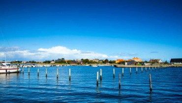
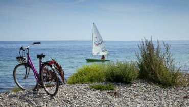
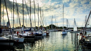
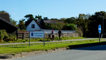
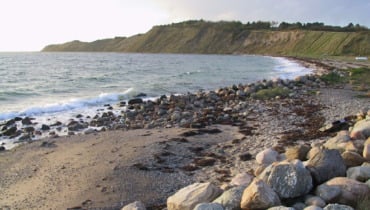
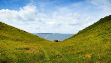
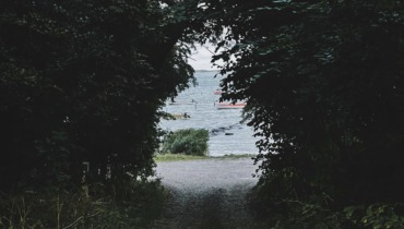
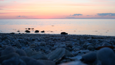
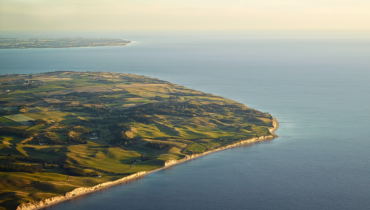
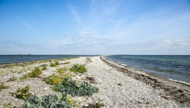
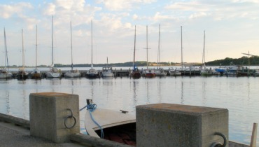
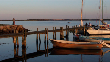
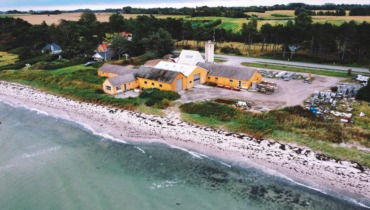
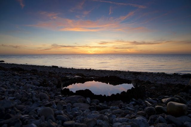
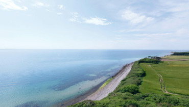
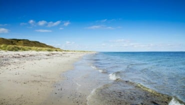
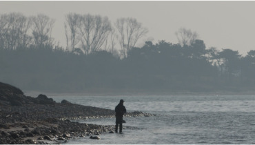
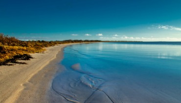
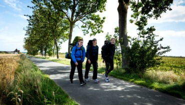
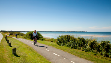
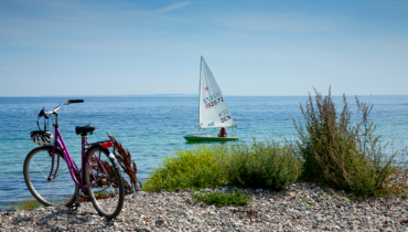
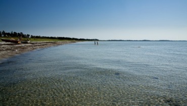
The tour starts at Sælvig Harbor. Here, you walk through the fence at the lower end of the parking lot. Follow the beach, which is a mix of sandy and rocky shore. When you reach the SOS sign, follow the dirt road.
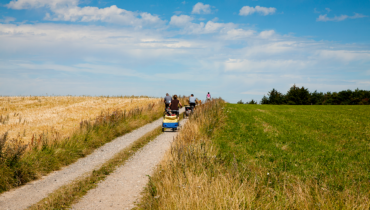
When the dirt road splits, follow the one on the right all the way around until the road divides into three.
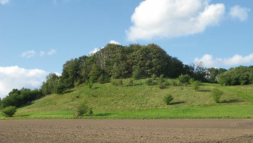
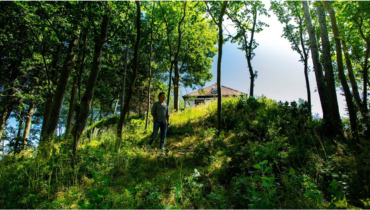
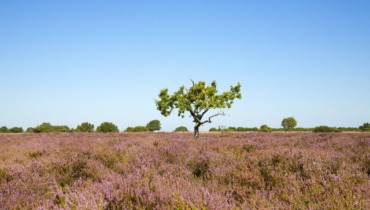
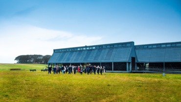
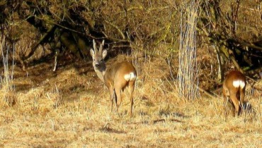
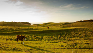
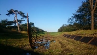
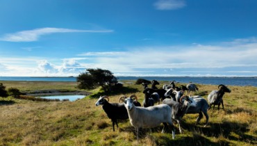
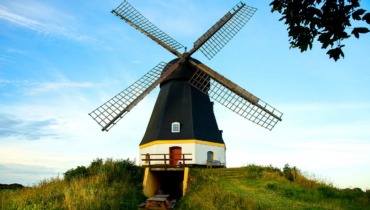
Follow the second road on the right-hand side, Præstegårdsvej. Here, you’ll pass by “Dyret,” which rises 51 meters above the ground and is the highest point on the southern island. During World War II, the Germans had an observation post on the hill, but otherwise, “Dyret” has been a gathering point for large public meetings. There is access to the hilltop from the roads on both the east and west sides. If you go up “Dyret,” you’ll come across a memorial stone for the politician and statistician Poul Sveistrup (1848-1911).
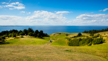
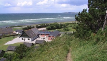
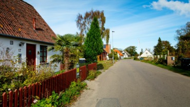
After “Dyret,” continue along the road until you reach a crossroads. Here, turn left onto Vesterholms vej. From Bakkedraget, humorously referred to as the “Alps” in Samsk, you can see towards Samsø’s “capital”: Tranebjerg.
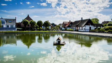
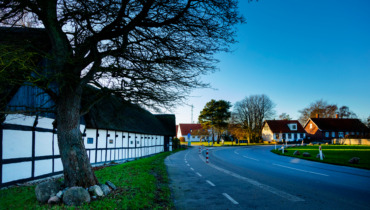
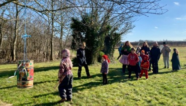
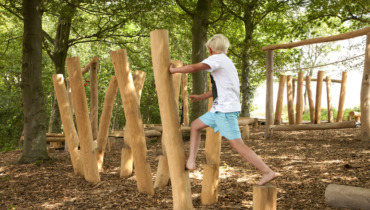
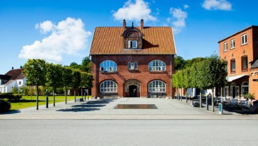
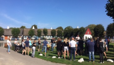
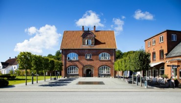
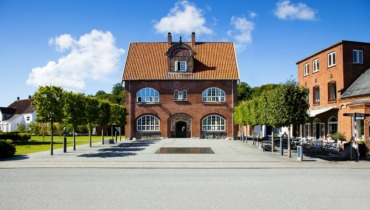
At the end of the “Alps,” turn slightly to the right and follow the small path along the green area and skate park to Sambiosen. Cross the parking lot and take the small path near the paddle tennis court. At the end of the path, you’ll come to a small closed residential street, which you follow around until you reach Samsø Town Hall. Until 2009, Samsø Town Hall was the island’s nursing home. At the Town Hall, turn right and follow Søtofte. When the road splits, turn left onto Sygehusvej, which leads to the center of Tranebjerg.
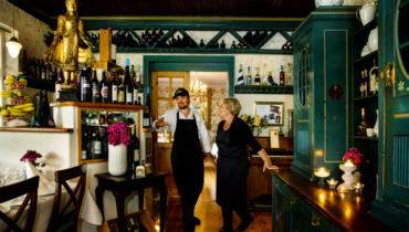
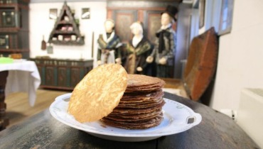
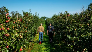
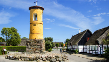
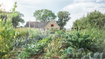
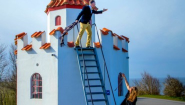
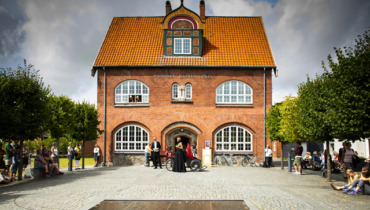
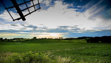
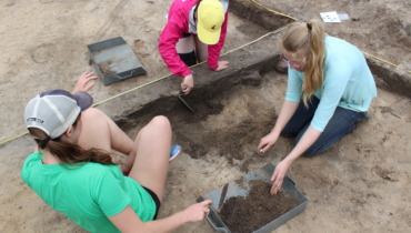
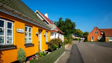
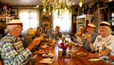
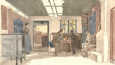
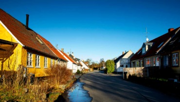
In Tranebjerg, you can shop in the town’s many stores or enjoy a lovely lunch or cup of coffee. It’s also a town rich in history. For instance, you can visit Samsø Museumsgård, a replica of an old Nordby farm, housing a rich collection of antiquities and folk artifacts. Throughout the summer, the museum farm and garden host various activities, such as a “living museum” where weaving, spinning, lace making, etc., take place, along with folk music and song evenings. From Møllebakken in the center of town, you have a splendid view from the top of the water tower, overlooking large parts of the southern island. Children can have fun on the new Tarzan course. Access to Møllebakken is available from the parking lot on Sygehusvej.
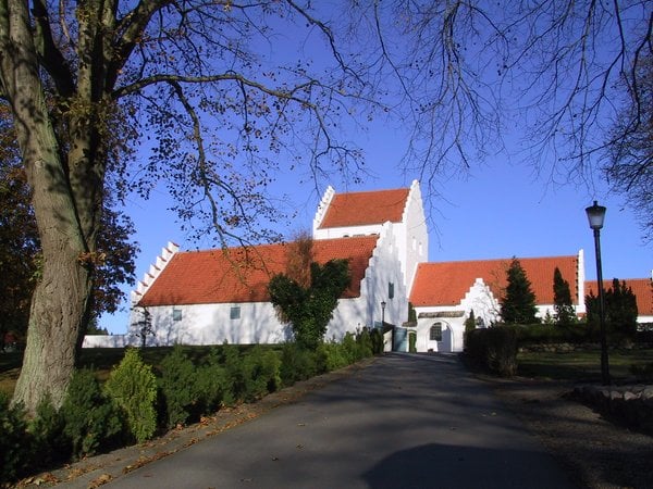
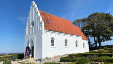
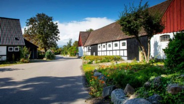
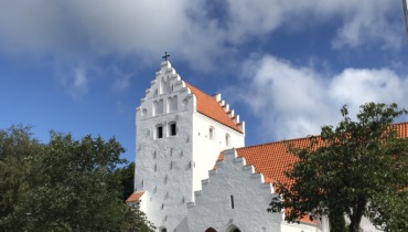
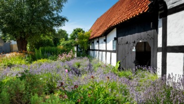
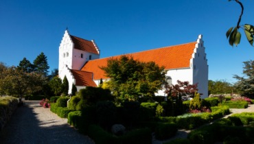
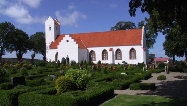
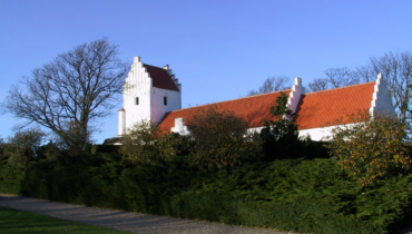
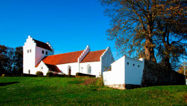
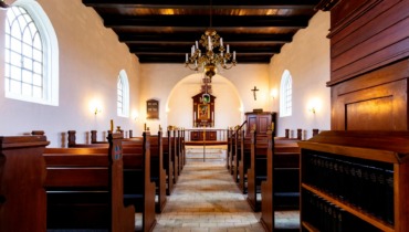
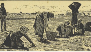
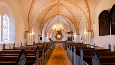
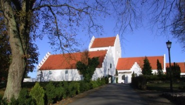
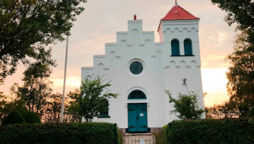
On your way out of Tranebjerg at the end of Langgade, you’ll encounter one of Samsø’s five medieval churches, Tranebjerg Church, whose tower is considered to be the largest village church tower in the country. The church also houses several beautiful frescoes. The large barn near the church was built at the end of the Middle Ages and was used to store the grain that the farmers had to give as a tithe. Later, the barn was used as an ammunition depot during the English Wars of 1801-1814 and for storing illegal weapons during World War II.
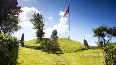
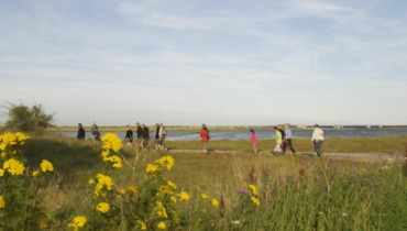
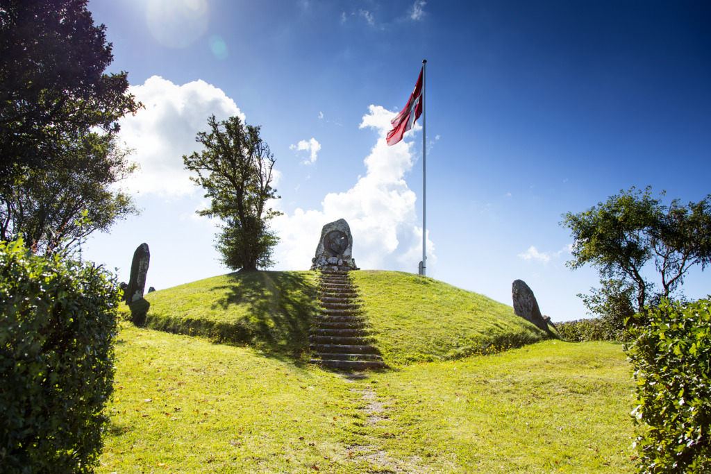
Past the church on the way to Onsbjerg, you’ll pass on the left the island’s police station – Tinghuset. Follow Kongevejen, and further ahead on the left, you’ll pass Kongehøjen with a bronze memorial relief of Frederik VII, placed by Samsingers in 1866 as a tribute to the June Constitution of 1849. From the hill, there is a wide view over the central island. Continue the journey towards Onsbjerg.
In Onsbjerg, you can take a detour to Onsbjerg Church before continuing out of Onsbjerg, turning left onto the dirt road at Dæj Glovi Grill (The glowing grill).
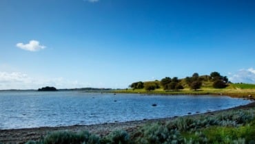
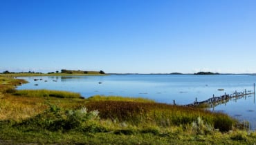
Follow the gravel road and go to the right when the road splits. Keep following the wheel tracks to the right, across the fields until you reach the beach. Turn right to head back to Sælvig Harbor – the endpoint of the tour.
Senest opdateret: 09/08/2023 14:52