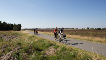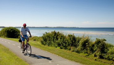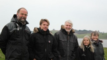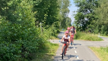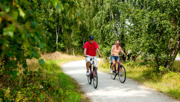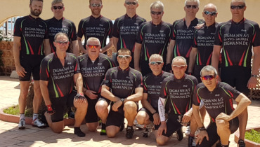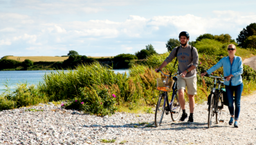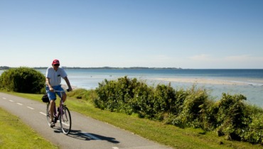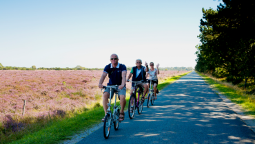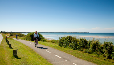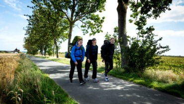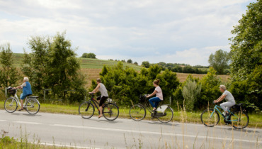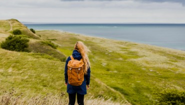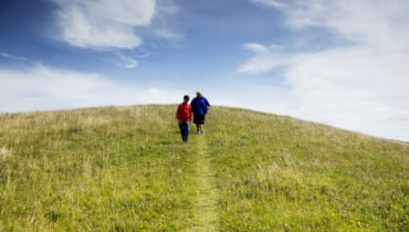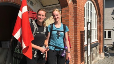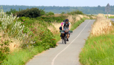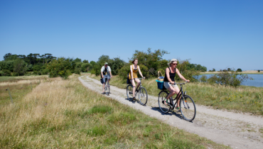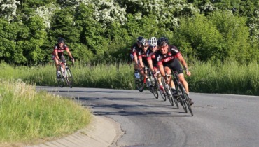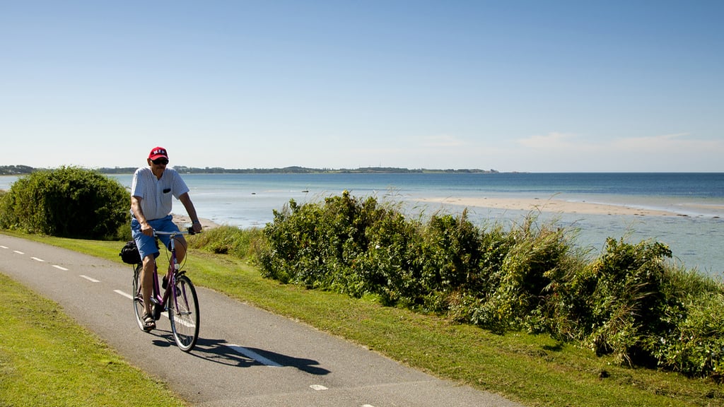
Bicycle tour on the Northern Island starting from Sælvig Harbor
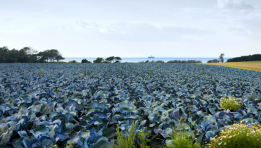
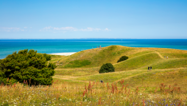
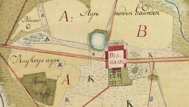
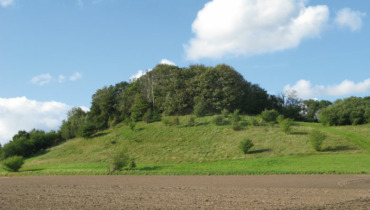
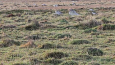
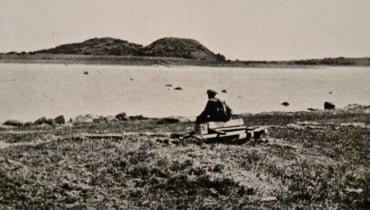
Starting in Sælvig, you cycle east until you reach Havvejen, where you turn left and head north. Shortly after, at the bend towards Østerby, you’ll see the road Bisgård Forte. A “forte” (in the local dialect, “furde”) is the common road that farmers used in the old days to drive animals out onto the meadows by the beach for grazing. On the other side of the plantation, if you look to the right, you can see some Bronze Age mounds at Bisgård Mark.
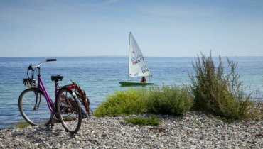
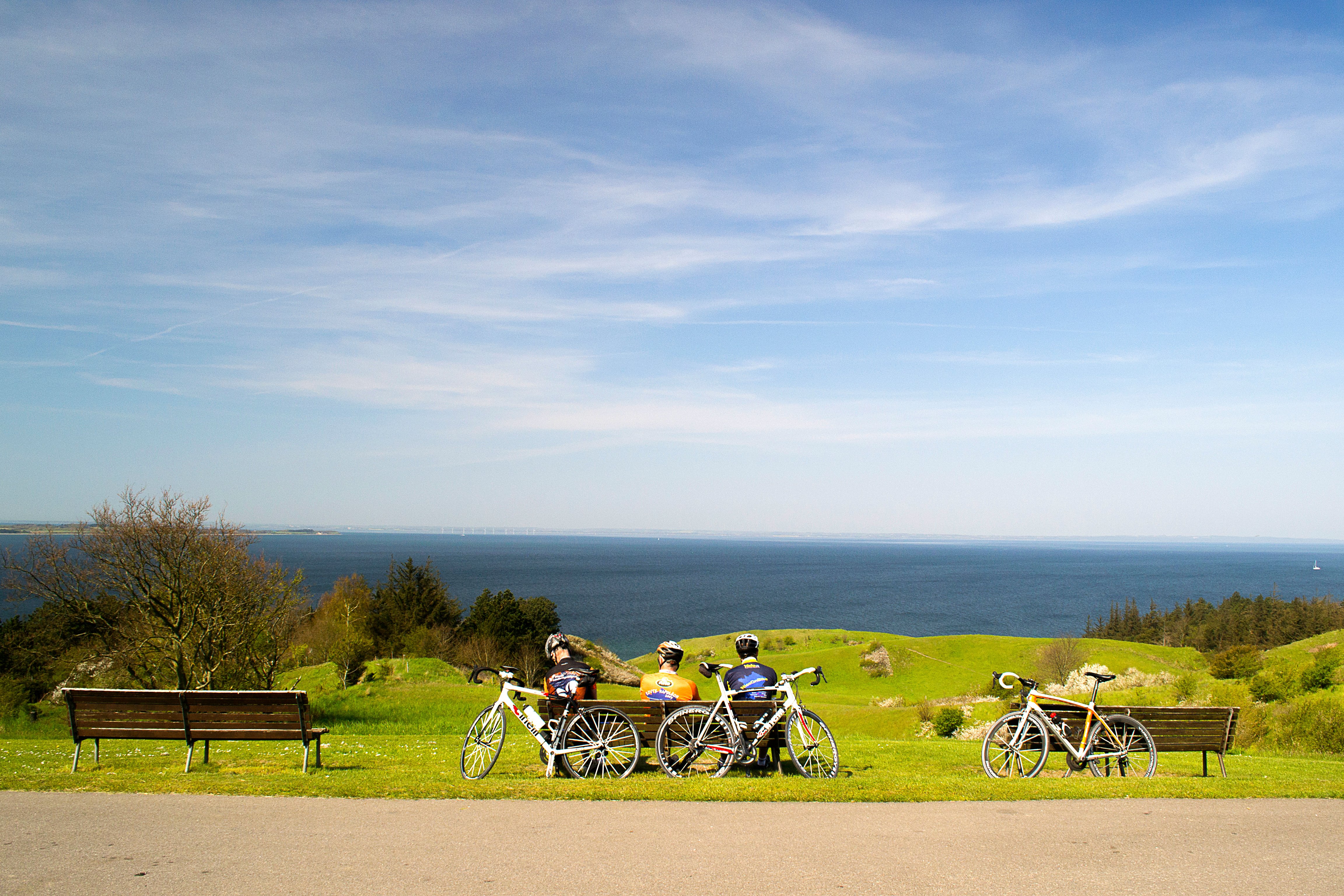
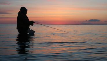
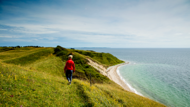
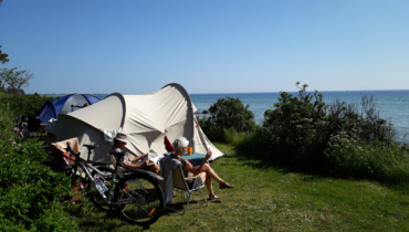
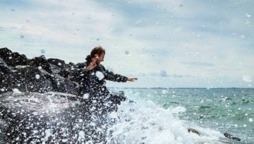
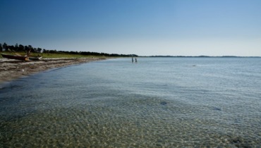
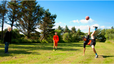
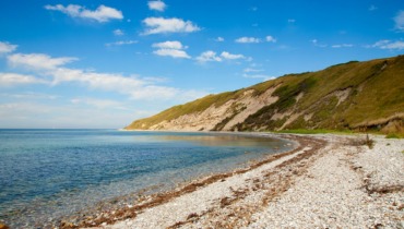
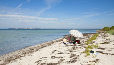
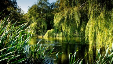
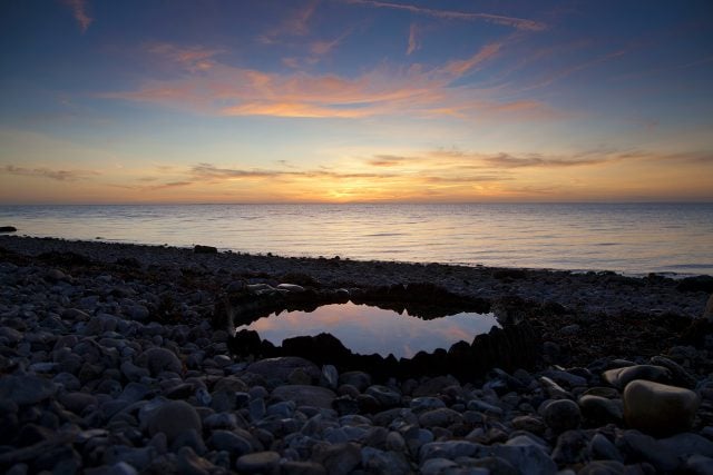
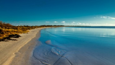
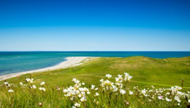
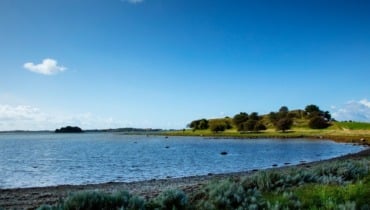
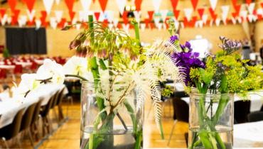
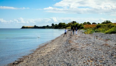
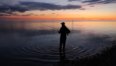
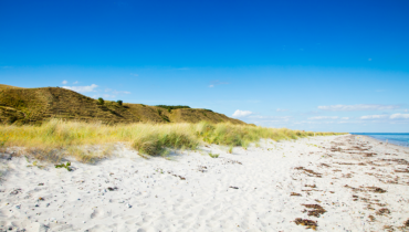
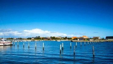
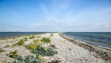
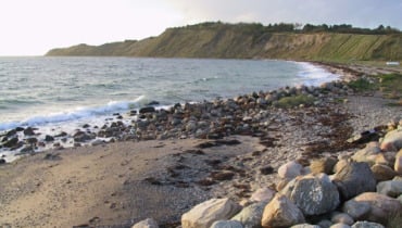
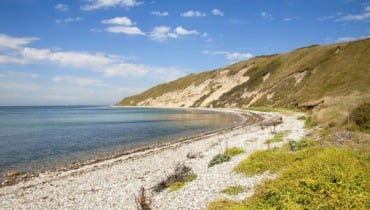
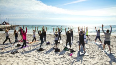
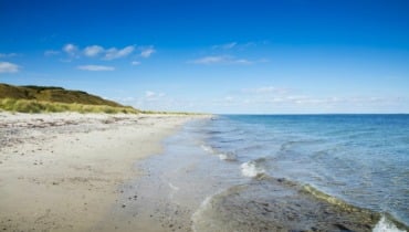
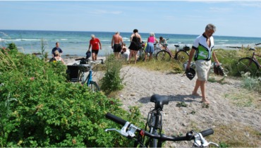
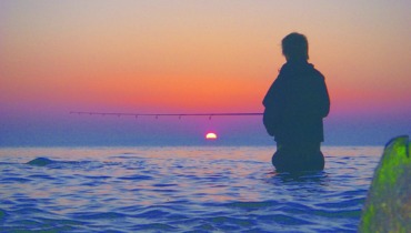
Next, the journey continues to Sælvig Bay, one of the island’s best beaches.
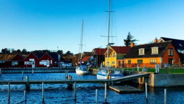
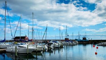
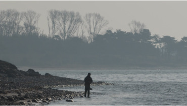
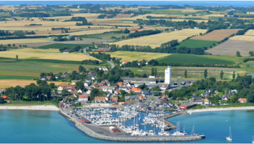
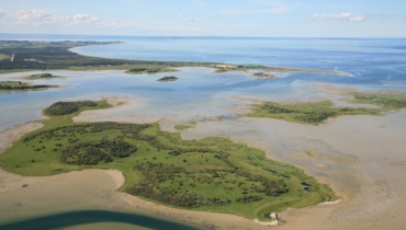
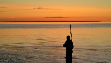
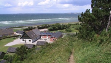
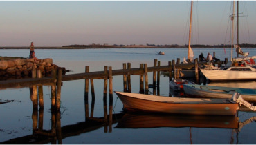
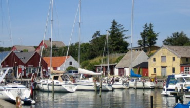
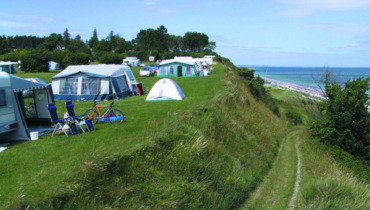
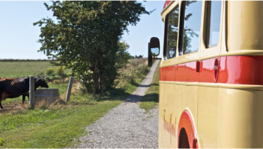
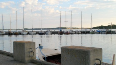
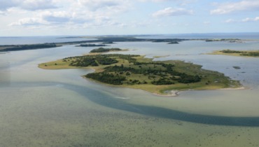
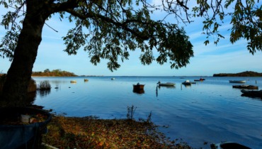
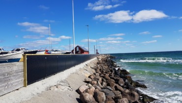
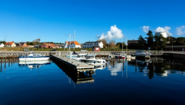
At the campsite, turn right onto Staunsvej, and you’ll have the airstrip on your right. A short way into the village, follow the road to the right. Here, you can dismount and take a walk along Chestnut Avenue down to the fjord. At the end of the avenue, you’ll find a small boat harbor – Stauns Harbor. From the harbor, there’s a footpath (note that you cannot cycle on this path) to the north. From here, you can see the large islet in the fjord, Hjortsholm, where there are remains of a medieval fortress.
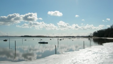
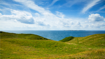
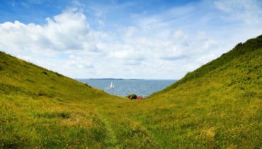
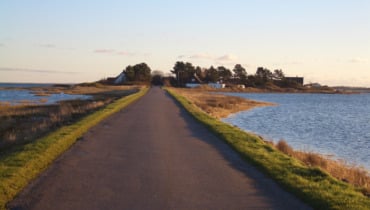
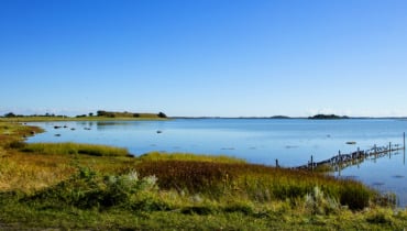
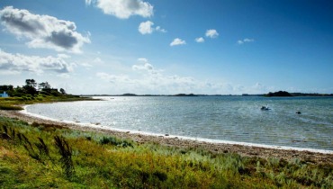
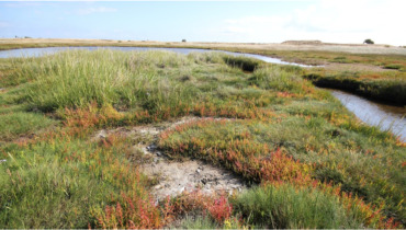
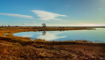
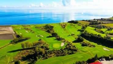
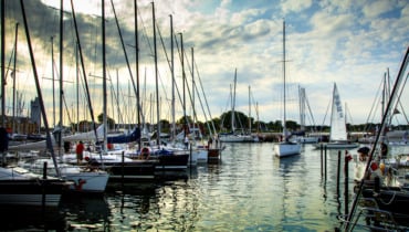
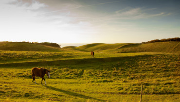
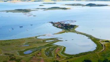
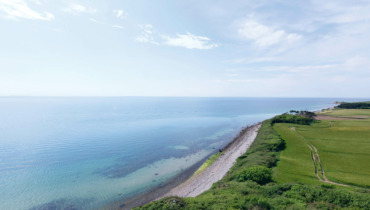
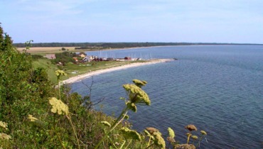
The journey continues out of Stauns and northwards along the fjord road. On the trip, you’ll enjoy the splendid view over Stauns Fjord and the islets within and outside the fjord. The nearest islands are Egholm and Sværm.
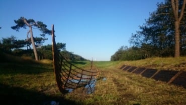
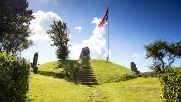
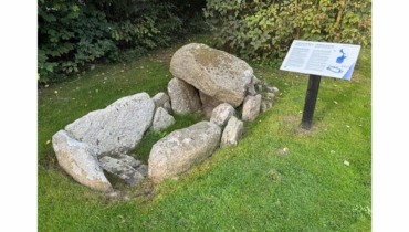
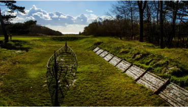
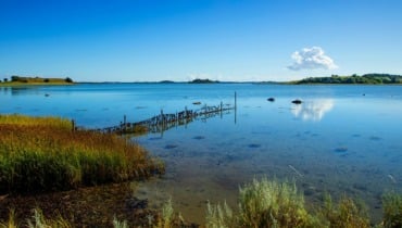
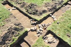
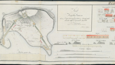
When you reach the Kanhave Canal, you’ve arrived at the narrowest point of the island. In 726, the Vikings constructed the canal, which connected the fjord to the sea west of Samsø. With access to the sea both east and west of Samsø, the base in Stauns Fjord could control maritime traffic through both the Great Belt and the Little Belt. Samsø was the center of the country, and the Vikings thus had control.
The canal is about 500 meters long, 11 meters wide, and about 1.25 meters deep. Today, there’s no water in the canal, but it’s easy to imagine the Vikings’ movements, beautifully visualized by the silhouette of a Viking ship and a model along the canal’s edge.
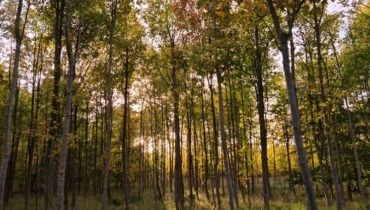
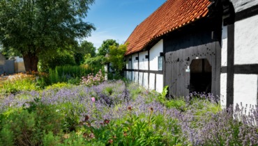
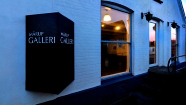
From the Kanhave Canal, the journey continues further north on Havvejen. After about 5 kilometers, you’ll reach Mårup, where the entrance to the village is marked by a forest. Mårup is a beautiful village with several old farms. In Mårup, you can take a detour to Mårup Harbor, or continue following the bicycle path to Nordby.
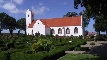
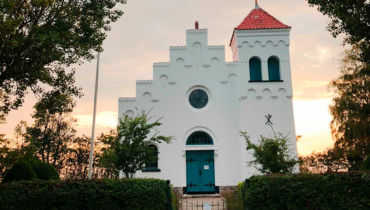
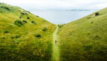
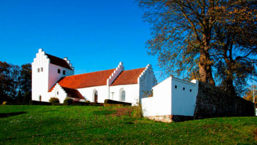
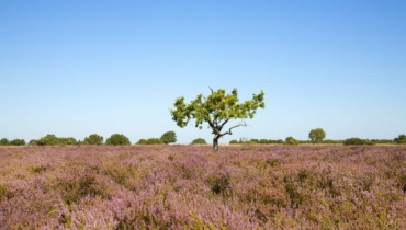
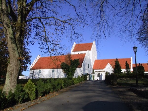
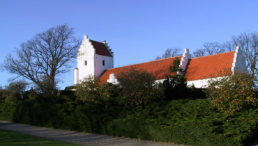
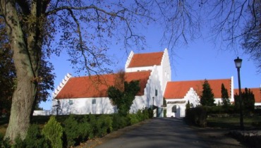
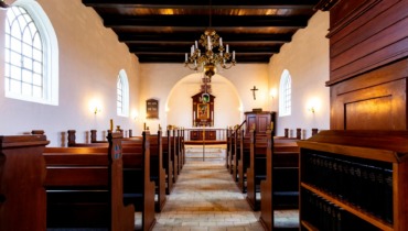
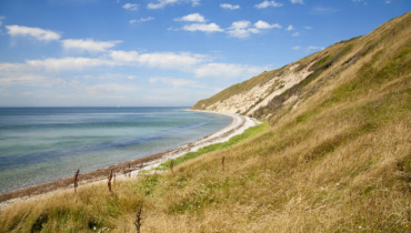
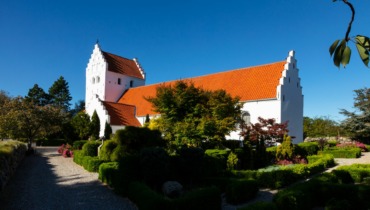
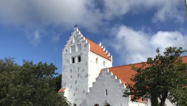
On the way, you’ll see Nordby Church, towering on the highland. To the west and northwest, you’ll see Nordby Hills; a distinctive glacial landscape from the Ice Age.
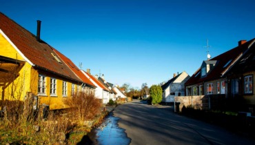
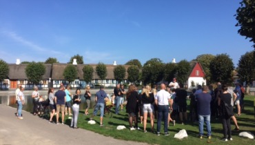
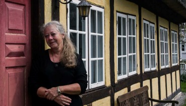
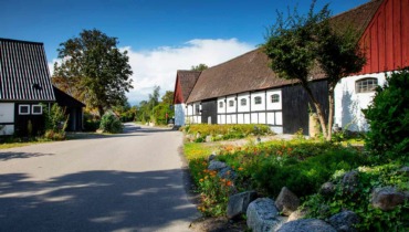
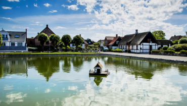
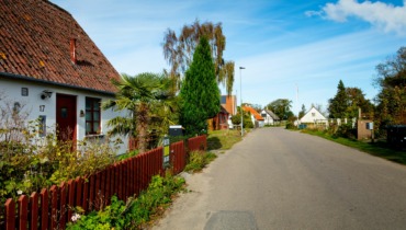
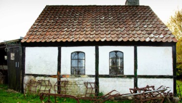
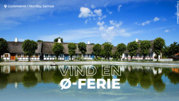
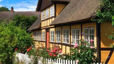
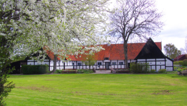
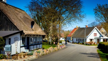
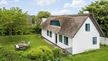
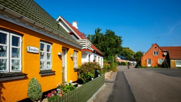
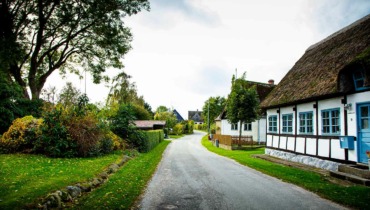
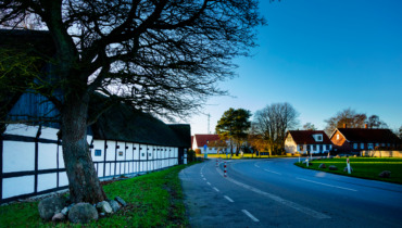
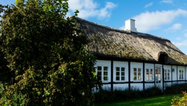
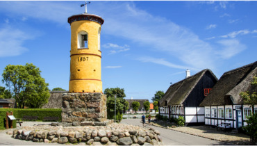
Shortly after, you’ll arrive at Nordby, characterized by the beautiful village pond surrounded by half-timbered houses. In 1990, Nordby was voted Denmark’s best-preserved village. Close to the village pond, you’ll see the bell tower, which was originally built to call for services and other religious activities, as the church was located far outside the village and couldn’t be heard. Today, the sun is rung up and down from the tower.
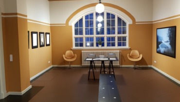
Opposite the bell tower stands the old Maypole of the town, and the building behind houses both a library and a parish exhibition. In Nordby, you can see the red-painted town wells, estimated to have been built more than 500 years ago. Take a look into them and get an impression of the impressive stone sides.
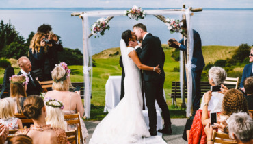
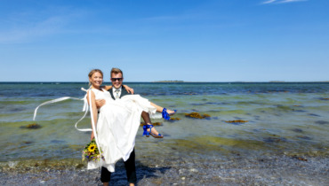
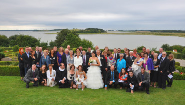
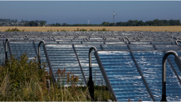
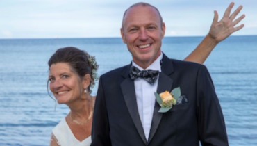
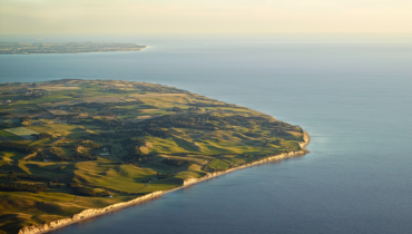
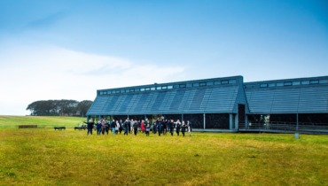
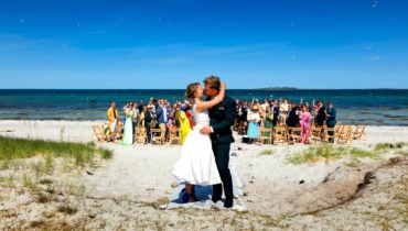
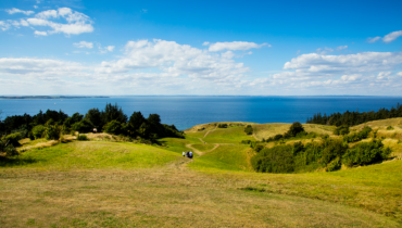
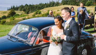
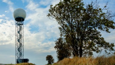
Drive from Nordby west out of the town towards Ballebjerg, Samsø’s highest point at 64 meters. From here, you can enjoy the view of Tunø and further in the distance, Aarhus. Looking east, you’ll see the islets Kyholm, Lindholm, Rumpen, and Vejrø. Ballebjerg’s lookout tower, erected in 1920, is now owned by the Nordby Citizens’ Association. Ballebjerg and the tower are a popular location for weddings.
Now, the journey returns to Sælvig Harbor via Nordby, Mårup, and Havvejen.
Senest opdateret: 09/08/2023 13:47