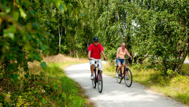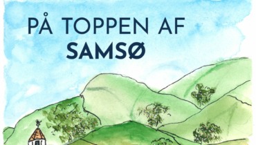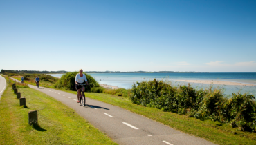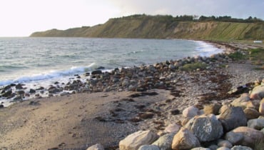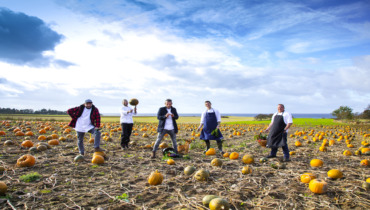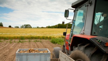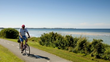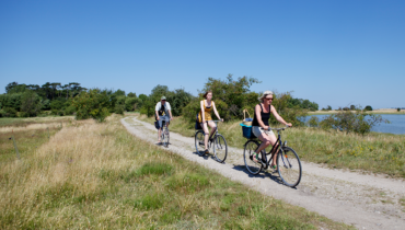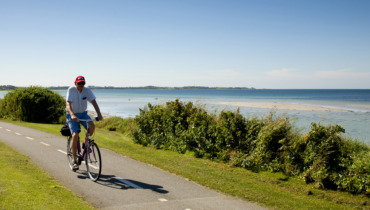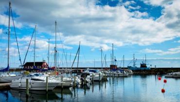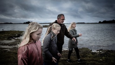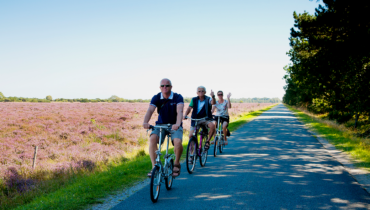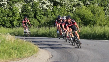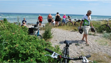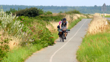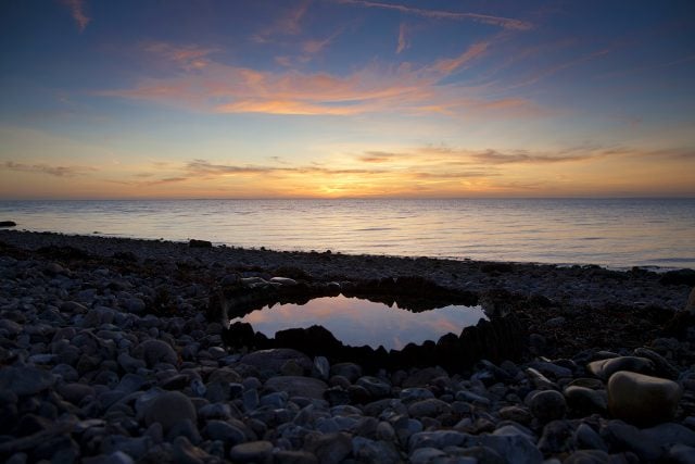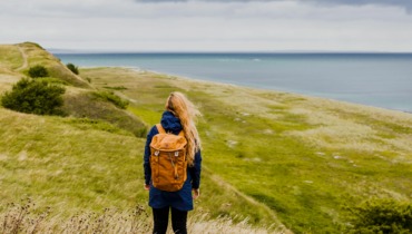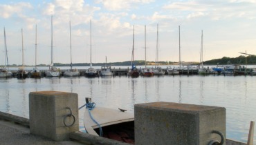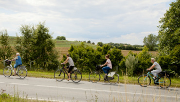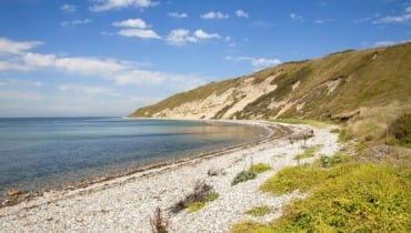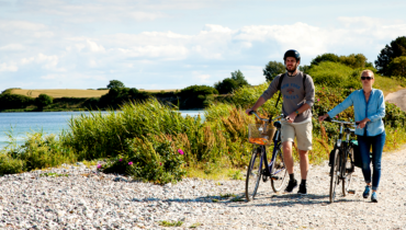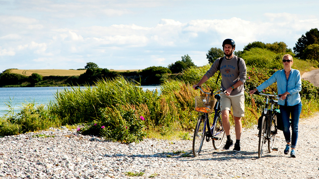
Bicycle tour on the Southern Island starting from Sælvig Harbor
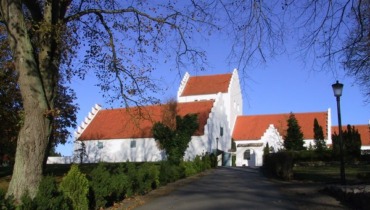
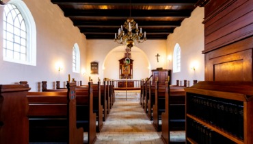
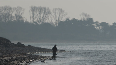
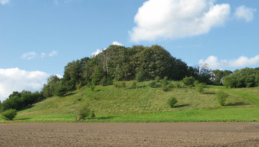
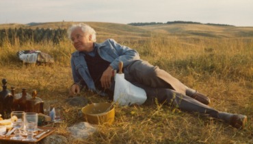
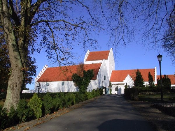
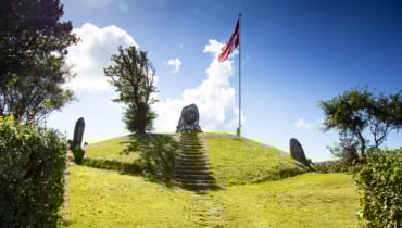
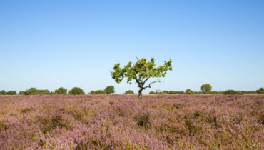
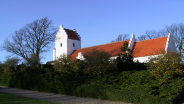
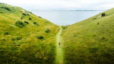
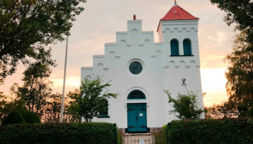
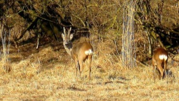
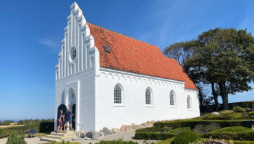
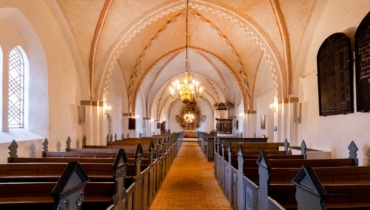
Starting in Sælvig, you cycle eastward until you reach Havvejen, where you make a sharp right turn and continue through Onsbjerg. Onsbjerg was once Samsø’s most important town and “capital,” a role now taken over by Tranebjerg. When you reach the “center” of Onsbjerg, you turn right onto Kirkevej, where you can stop at the church, one of Samsø’s oldest churches. After visiting the church, you continue along Præstegårdsvej, and when the road forks, you cycle further along Tanderupvej. On your left-hand side, you pass the highest point on the southern island, “Dyret,” rising 51 meters above the ground. During World War II, the Germans had an observation post on the hill, but otherwise, “Dyret” has been a gathering point for large public meetings. There is access to the hilltop from the roads on both the east and west sides. If you park here and walk up to “Dyret,” you will encounter a memorial stone for the politician and statistician Poul Sveistrup (1848-1911).
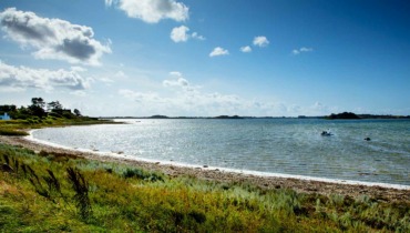
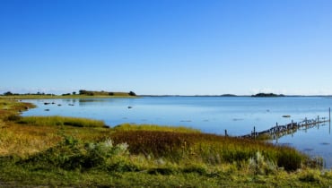
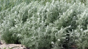
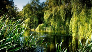
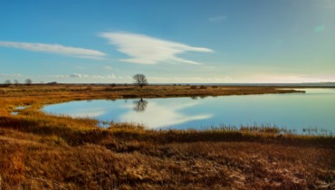
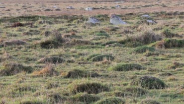
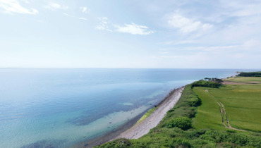
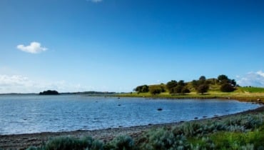
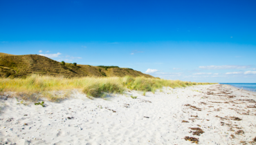
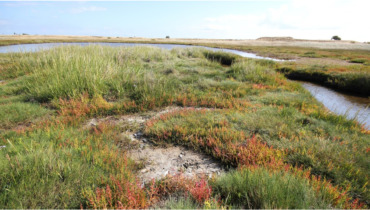
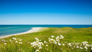
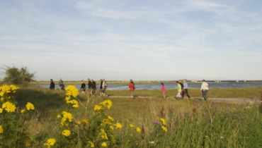
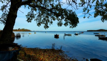
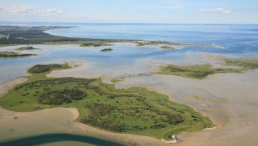
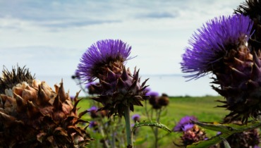
From “Dyret,” the journey continues through Tanderup and on towards Pillemark. A little west of Pillemark lies Tranemosen, covering 12 tønder land and is home to a rich birdlife.
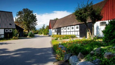
From Pillemark, you head south on Vrangstrup, which after a stretch becomes Byvejen, leading you through Hårdmark. In Hårdmark, you can stop by the village pond and take a short stroll.
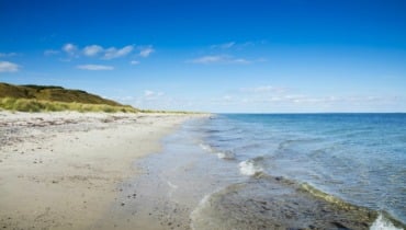
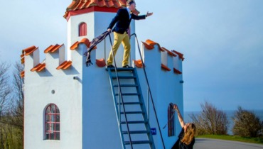
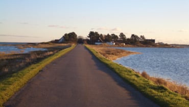
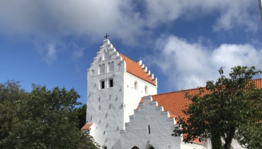
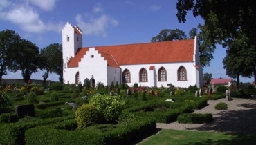
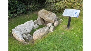
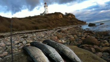
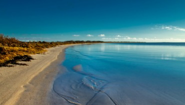
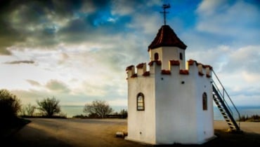
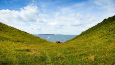
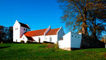
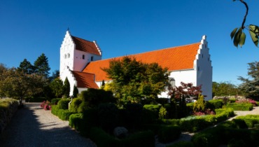
Continue further south to Kolby. In Kolby, one of Samsø’s five medieval churches can be found. Drive through Kolby along Kolby Hovedgade and continue all the way to Vesborg Lighthouse. Once, Valdemar the Fourth’s great medieval castle was located here, and one can still discern ramparts and moats. In the small gunpowder house, there is an exhibition about Samsø in the Middle Ages. If you take the trip all the way up the lighthouse, posters describing the view are hung all around. It is possible to access Vesborg Lighthouse from April to October. Remember to have some cash or MobilePay if you’d like to go up the tower.
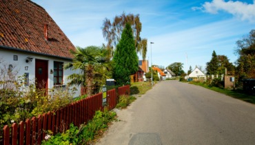
From the lighthouse, you drive back the same way, but when you reach Kolby, you turn right onto Kolby Hovedgade and continue onto Trolleborg Vej. The small village of Permelille is passed on the right, Samsø’s highest situated village. If you have time for a detour, you can drive through the village.
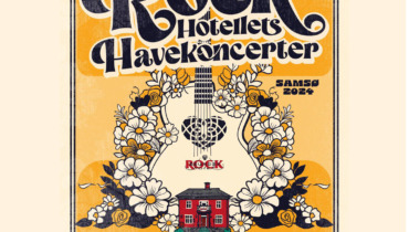
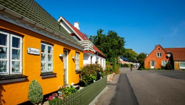
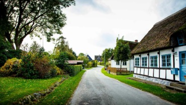
Past Permelille, you continue straight ahead along Højvangsvej, where after about 800 meters, you turn right towards Brundby. In Brundby, among other things, there is a shelter area, several small shops, and Denmark’s only Rock Hotel.
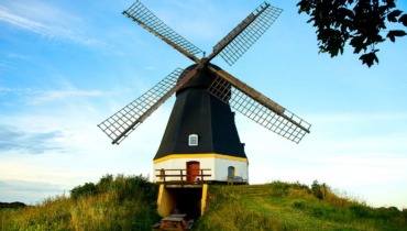
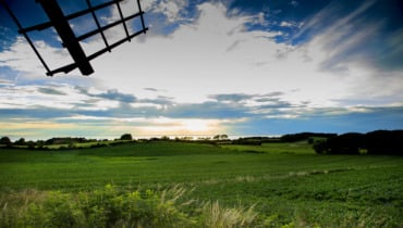
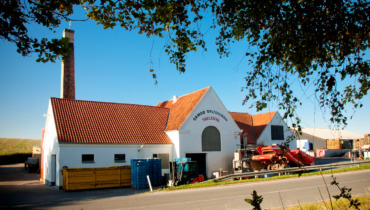
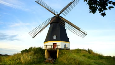
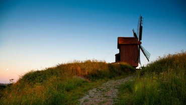
Now the journey goes from Brundby to Tranebjerg via Brundbyvej. Right as you exit Brundby, you’ll see the beautiful stub mill from the 17th century. The mill is open to the public during the summer months.
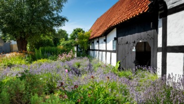
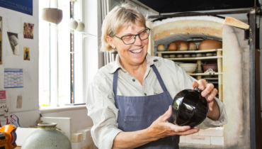
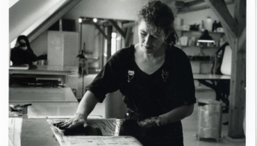
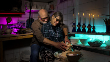
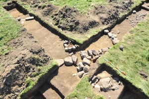
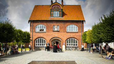
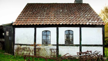
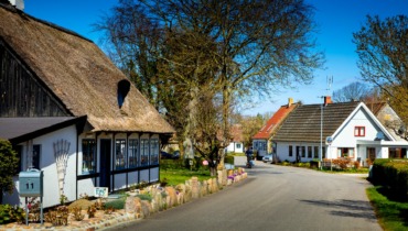
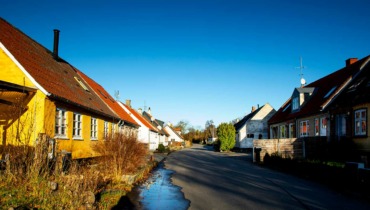
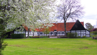
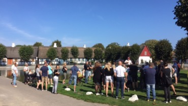
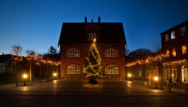
From the stub mill, the journey continues to Tranebjerg, the island’s largest town. Here, all practical matters can be attended to. In the town, you’ll also find Samsø Museumsgård, a replica of an old Nordby farm. Throughout the summer, the museum farm and garden host various activities, such as a “living museum,” where weaving and spinning take place. At Samsø Museum, which is located in the town’s old dairy, you can quickly get an insight into Samsø’s history and cultural landscapes.
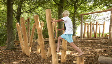
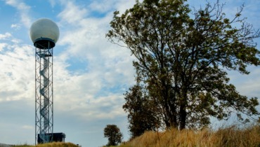
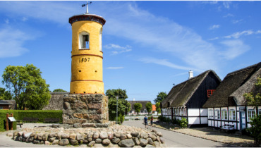
From Møllebakken in the center of town, you have a splendid view from the top of the water tower, overlooking large parts of the southern island. On Møllebakken, there’s also a Tarzan course where kids and the young at heart can have fun. Access to Møllebakken is available from the parking lot on Sygehusvej.
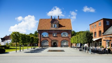
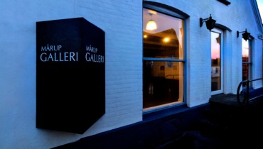
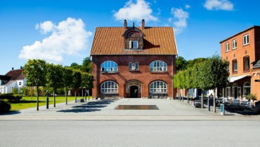
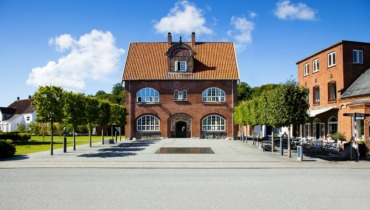
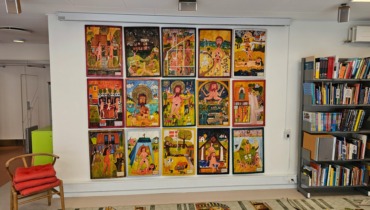
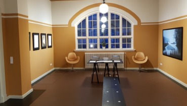
On Langgade, you’ll find cafes, restaurants, shopping, and more. Also located here is Anton Rosen House, housing the island’s tourist information and rotating art exhibitions.
Now the journey returns to Sælvig Ferry Harbor via Onsbjerg.
Senest opdateret: 09/08/2023 13:54