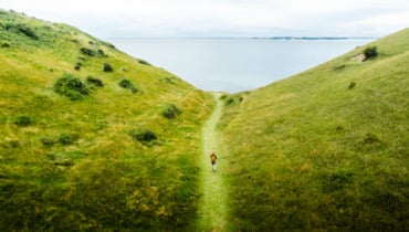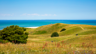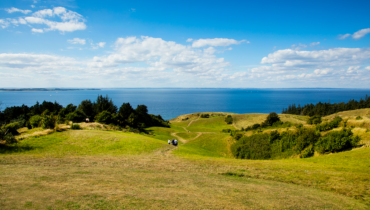
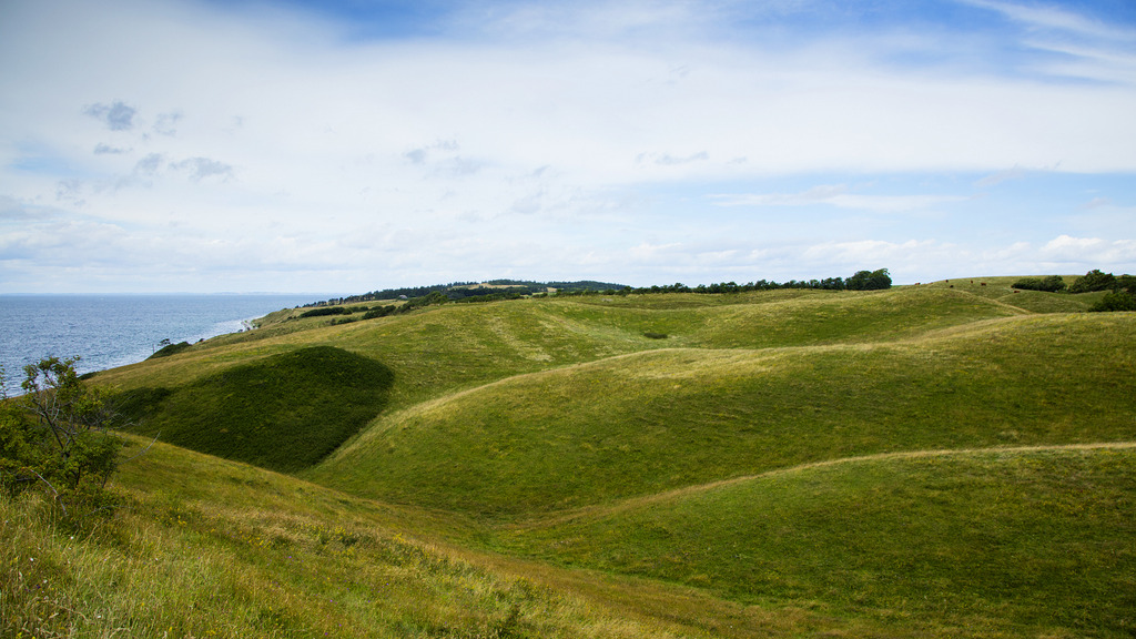
A rolling landscape of hill and dale
Join us on a journey through time when, over 10,000 years ago, glaciers were pushing their way across Samsø. Vast quantities of clay, sand and gravel reshaped the landscape and formed the area now known as Nordby Bakker.
Legacy of the ice age
Today, when we visit the gently rolling Nordby Bakker, it is hard to imagine that this area was once exposed to such dramatic changes. But try to imagine huge glaciers pushing their way across the area, depositing vast amounts of clay and stone. Then imagine that, several times during the ice age, the ice would melt and turn into rivers that carved their way through the landscape. Valleys and gorges appeared alongside hill tops.
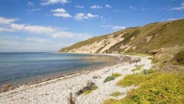
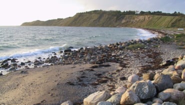
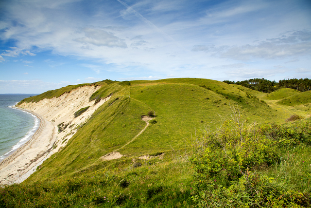
The legacy of the ice age is seen quite clearly on the cliffs to the west of the rolling hills. The moraine clay, which was left here by the glaciers, appears in varying shades of grey and brown. In places, you can see three different layers of clay, containing rocks from Norway, central Sweden and the Baltics. This informs us that Samsø was covered in ice at least three times.
During the periods when the ice was melting, the huge volumes of melting water would wash away the clay from the surface, leaving only sand and gravel. This is what we can see in between the layers of moraine clay.
Limitless experiences in nature
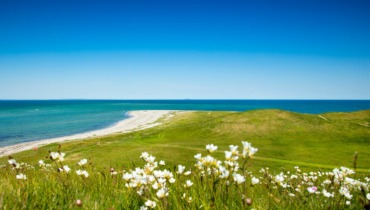
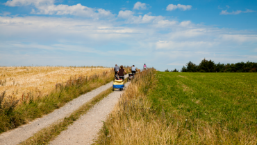
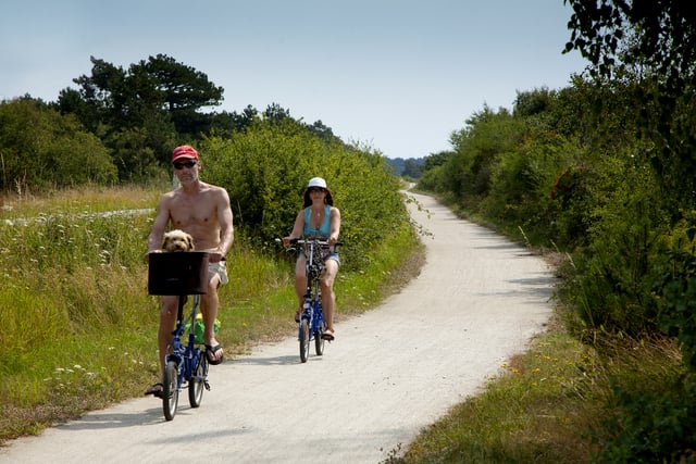
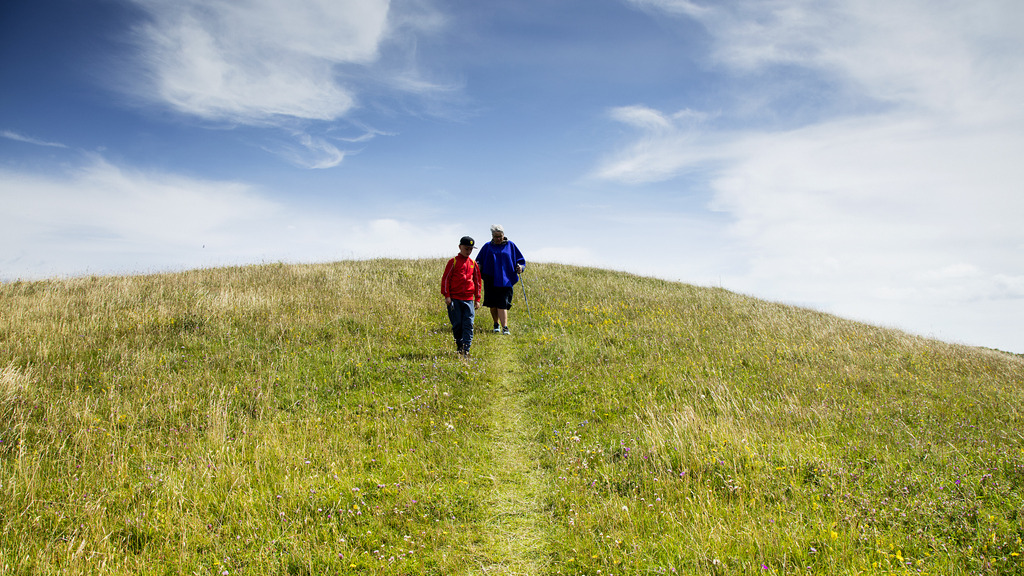
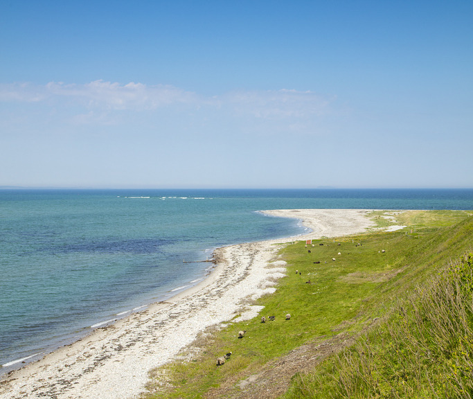
This large area of rolling hills stretches from Asmindør Hage by Mårup Vig in the south to Issehoved in the north. Walking the full 6 km along the west coast, you will discover a number of beautiful and varied landscapes, sights and sounds, which, if you move eastwards and further inland, become even more varied.
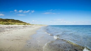
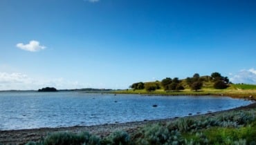
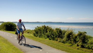
While the west coast of Nordby Bakker is characterised by cliffs, slopes and stony beaches, the east coast is blessed with miles of sandy beaches, perfect for bathing.
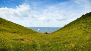
Moving away from the coast into the hills, you will find a fascinating moorland of gorges, knolls, shrubs, glades and wetlands. Most of the area is protected; this has created ideal conditions for nature to evolve and flourish.
Hills and valleys
The main characteristics of the area are, of course, the many hills and valleys. Like pearls on a string, stretching from north to south, you can climb “Pelkeshøj”(27 m), “Tornbjerg”(44 m), “Trapperatbakken”(49 m), “Stolbakken” (35 m), “Borbjerg” (39 m), “Marensbjerg” (38 m), “Bregnebjerg”(63 m) and “Ballebjerg” (64 m), just to mention a few. From all these peaks you will have fantastic views across large parts of Samsø and the surrounding sea of the Kattegat with, among others, Tunø to the west.
In contrast, there are the valleys, also called “skår” (cracks or hollows) created by the melting glaciers, carving their way through the landscape. These are called, among others, “Horserenden”, “Staderende”, “Nordre, Midte og Søndre Svinekilde”; “Møgelskår” and “Langdalen” are particularly exceptional.
Miles of fairytales
In addition to spectacular climbs or peaceful walks, the Nordby Bakker have even more to offer. In many places in the hills you will find interesting place names that fire one’s imagination. How about “Kasflo”, “Hvalv”, “Grudås”, “Troldehullet”( Troll hole), “Troldkonedal”(Troll Wife Valley) and “Klevelt”?
These colourful place names are steeped in legend and myth. “Røverstuen” by “Langdalen” is said to have been the haunt of pirates who had access to this area via the waters in “Langdalen”. “Ormeskredet”, south of “Vestballegård”, refers to a legend about a huge, scary, man-eating worm which made its way down a path to the sea.
Take a walk in this land of legends and create your own stories!
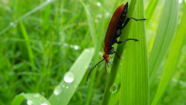
An abundance of life
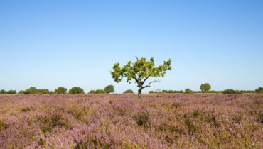
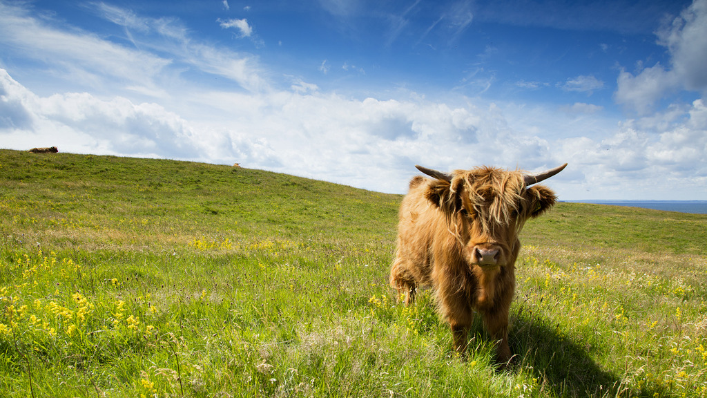
In large areas of the hills you will find cattle and sheep. The grazing of these animals encourages an abundance of flora, such as the lesser butterfly orchid, proliferous pink, little bur medic and the protected green-winged orchid.
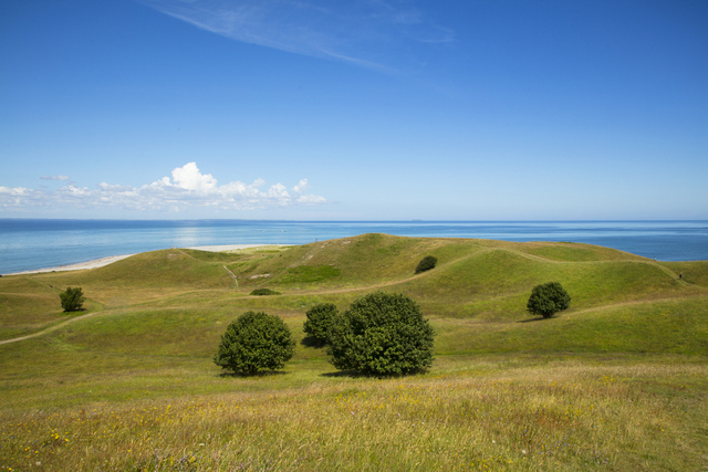
Møgelskår
In 2017, “Møgelskår”, to the west of Nordby Church, was added to “Smutturen”, a list of 50 unique areas of outstanding natural beauty in Denmark. This list has been created by Realdania in collaboration with VisitDenmark, Danish Coast and Countryside Tourism, and Naturstyrelsen.
In its brochure about the area, Naturstyrelsen has listed several spectacular routes that are each signposted. The shortest route is 4.5 km and the longest is 8.5 km.
Danmarks Naturfredningsforening suggests a longer, circular route of 18 km, starting in Nordby, walking from there to Nordby Church, then on to Møgelskår. From here, you walk along the coast, following the marked paths to Ballebjerg and from there towards Issehoved. From Issehoved the route follows the main road for 4 km back to Nordby. You can pick up a free leaflet about Nordby Bakker at VisitSamsø, Anton Rosens Plads 3, Tranebjerg.
Last updated: 29/04/2019 09:36