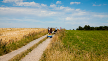
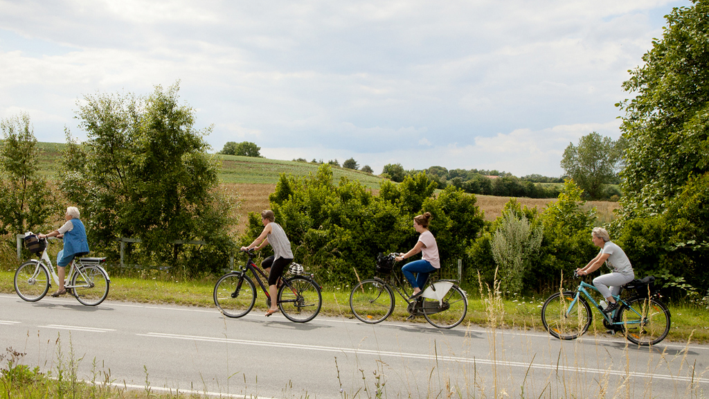
Cycling Tour on the Central Island starting from Sælvig Harbor
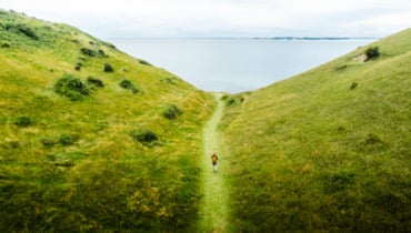
Starting from Sælvig, you’ll cycle eastward until you reach Havvejen, where you’ll make a sharp right turn and continue through Onsbjerg. Onsbjerg was formerly Samsø’s most important town and “capital,” a role that has now been taken over by Tranebjerg. In Onsbjerg, you can make a stop at the church, one of Samsø’s oldest churches. From Onsbjerg, you have the option to take a detour to the southern island’s highest point called “Dyret,” which rises 51 meters above the ground. During World War II, the Germans had an observation post on the hill, but otherwise, “Dyret” has been a gathering point for significant public meetings. The hilltop can be accessed from the roads on both the east and west sides. At the top of “Dyret,” you’ll encounter a memorial stone dedicated to the politician and statistician Poul Sveistrup (1848-1911).
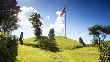
Exiting Onsbjerg, follow Kongevejen, passing Kongehøjen on your right. On Kongehøjen, there is a bronze memorial relief of Frederik VII, placed by the people of Samsø in 1866 as a thank you for the June Constitution of 1849. If you take a stroll up the hill, you’ll enjoy a wide view over the central island. From Kongehøjen, the route descends the hill into Tranebjerg, where you’ll pass Tranebjerg Church on your left. This medieval church boasts a tower considered to be the largest village church tower in the country.
From the church, follow Langgade until you reach the center of Tranebjerg. In the town, which is the largest on the island, you can take care of all practical matters. Here, you’ll also find Samsø Museumsgård, a replica of an old Nordby farm, housing a rich collection of ancient artifacts and rural objects. Throughout the summer, the museum farm and garden host various activities such as the “Living Museum,” where weaving and spinning demonstrations take place. At Samsø Museum, you can quickly gain insight into Samsø’s history and cultural landscapes.
From Møllebakken in the heart of Tranebjerg, you can enjoy a great view of large parts of the South Island from the top of the water tower. Møllebakken also features a Tarzan course where both children and the young at heart can have some fun. Access to Møllebakken is available from the parking lot on Sygehusvej.
Along Langgade, you’ll find cafes, restaurants, shopping, and more. Anton Rosen Huset is also located here, hosting the island’s tourist information and rotating art exhibitions. Continue out of Tranebjerg towards Brundby on Brundbyvej. Just before entering Brundby, you’ll pass Brundby Stubmølle on your left.
Brundby Stubmølle is one of only 16 post mills left in Denmark and is either the oldest or the second oldest. The mill ground its first flour in the 1600s and continued milling grain until 1939. At Stubmølle, you’ll enjoy a fantastic view of Ballen. During the summer months, the mill is open to the public. In Brundby, you’ll also find a shelter area, several small shops, and Denmark’s only Rock Hotel.
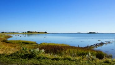
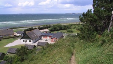
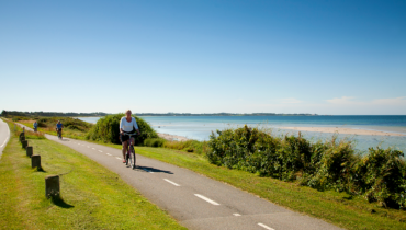
From Brundby, head east to Ballen. Ballen was formerly the harbor for the steamship connection between Ballen, Copenhagen, and Odense, marking the beginning of the island’s tourism. Ballen was a haven for prominent bathers and remains a popular vacation spot, still drawing many visitors. In Ballen, you’ll find shops, cafes, restaurants, various accommodations, beautiful beaches, and a large marina. If you follow the path to the left of Restaurant Skipperly, you’ll come across a rarity – the lime kiln built in 1832. This is where coral lime from Fakse was processed for later use as building lime.
At the northern end of Ballen, you’ll pass Samsø Energy Academy before heading north on Strandvejen. After approximately 3.5 km, you’ll reach Langemark.
On the right after Langemark, you’ll spot a memorial mound for Farmer Mikkel Søren Holm (June 2, 1854 – April 31, 1915). Mikkel Holm was the chairman of Samsø Landboforening (Samsø Agricultural Association) from 1886 and a member of the landbokommissionen (agricultural commission) in 1894. He became a role model not only for Samsø farmers but for farmers across Denmark.
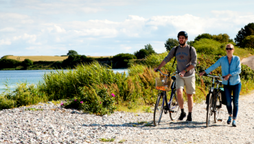
From Langemark, continue northward to Besser. On the way, you’ll pass Besser Church on the left and Samsø Golf on the right. At the entrance to Besser, you’ll see the old rectory from 1750. From 1812-16, the rectory served as a seminary, providing much-needed further education for the island’s schoolmasters. Arriving at Hovedgaden (Main Street), you’ll ride through Besser village, passing the old grocery store where you can still grab a refreshment. Proceed past the community center and make a sharp right onto a small road, Kærvej. This road leads you to the Besser lookout tower, which is built on the foundation of a mill that burned down during silent film shooting in 1913. Follow Kærvej around the elongated pond until you reach Besser Hovedgade again. Return along the main street and turn right onto Alstrupvej. Follow the road for about 500 meters and then turn left onto Lundgærde, which you’ll follow until you reach Østerby, a well-preserved village. Østerby underwent rapid development in the 1900s. A road was constructed, transforming Østerby into a so-called “round town,” and the town acquired electricity and a waterworks – changes that revolutionized everyday life.
On a field south of Østerby lies Bishøj, known as the primary dwelling place of the subterranean beings in Østerby. Many have experienced peculiar things here over time, ranging from howling black dogs to baskets that seem to chase one on their own.
After passing through Østerby, cycle left onto Bøgebjergvej. Bøgebjerg has been a significant gathering point for Østerby’s (and Samsø’s) residents throughout history. Political meetings, constitutional assemblies, and festive celebrations have been held here. The constitutional assemblies could attract up to 900 participants. At the base of the hill, remnants of a speaker’s podium that was used for political meetings can still be seen. And at the top of Bøgebjerg hill, there’s a stone with a carved name: Søren Jørgensen from Østerholm (No. 2), who held Bøgebjerg in lease. Please note that Bøgebjerg is private property. Kindly stay on the path and turn around at the speaker’s podium.
Bøgebjergvej becomes Bisgård Forte, and the road is followed around. At Bisgård farm, remains of moats have previously been found, suggesting that the farm had a fortified structure east of the current main building during the Middle Ages. Today, Bisgård Forte is leased to Samsø Frie Skole, which uses the area for nature education.
From Bisgård Forte, follow the road to Havvejen, where you’ll turn left and follow the road for 500 meters. Then, make a right turn and cycle the final stretch back to Sælvig Harbor.
Digital synliggørelse af ruter på Samsø er støttet af Friluftsrådet med Udlodningsmidler til Friluftsliv.
![]()
Last updated: 05/01/2024 09:31